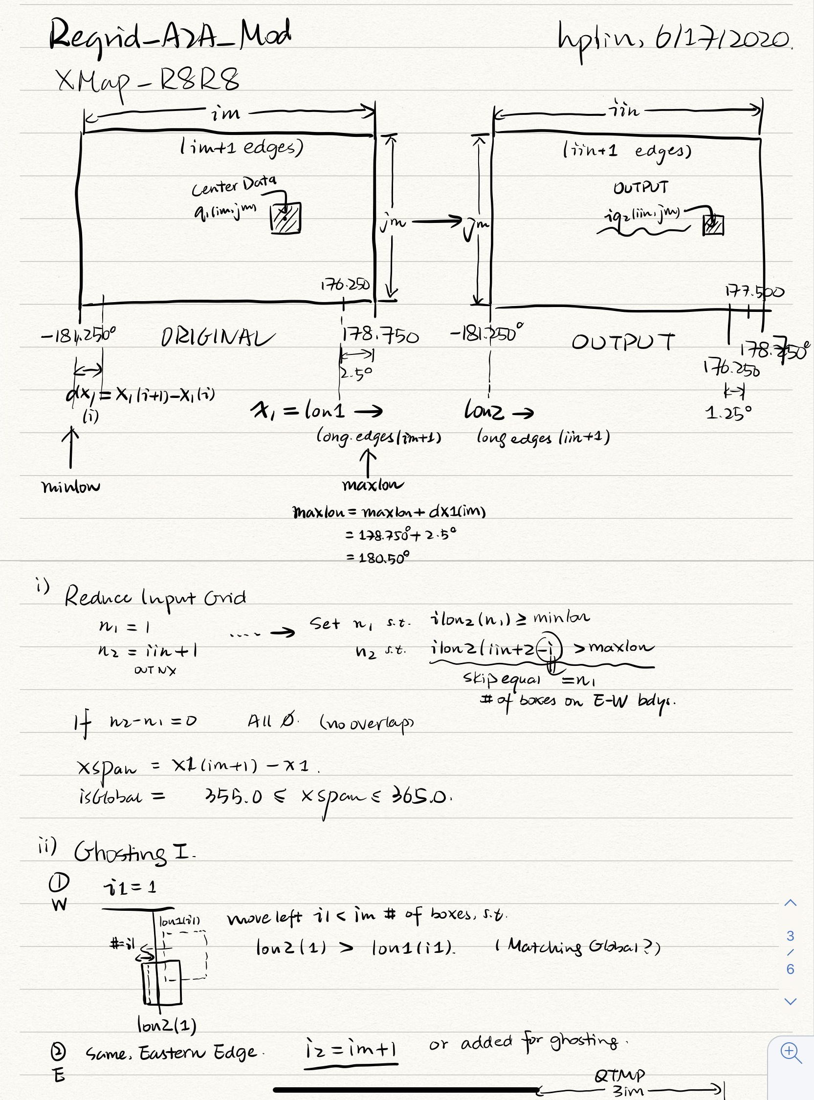
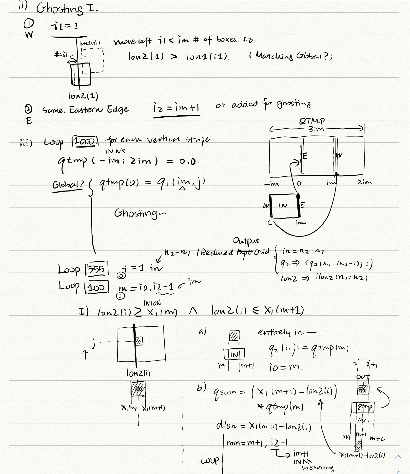
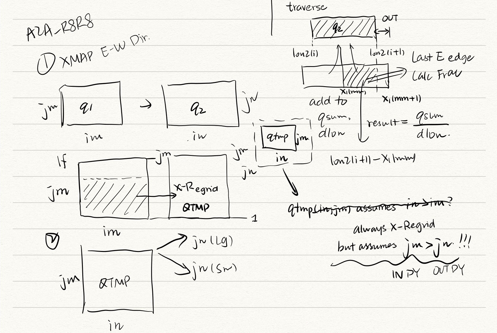
GEOS-Chem has a long living conservative lat-lon to lat-lon regridder called Map_A2A. Despite formerly being a module from elsewhere (GEOS?), there is absolutely no documentation on the code, and thus it had bugs that were caused due to sometimes missing knowledge about the assumptions in the underlying algorithm.
I tried to go through the code and explain it visually. These are my internal notes. If you have reached this place, you are likely trying to figure out issues with this regridding algorithm. Godspeed.


